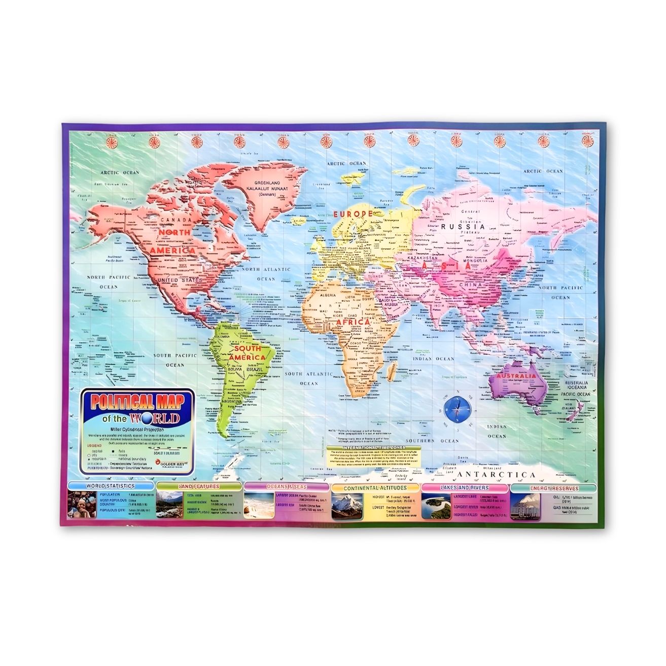
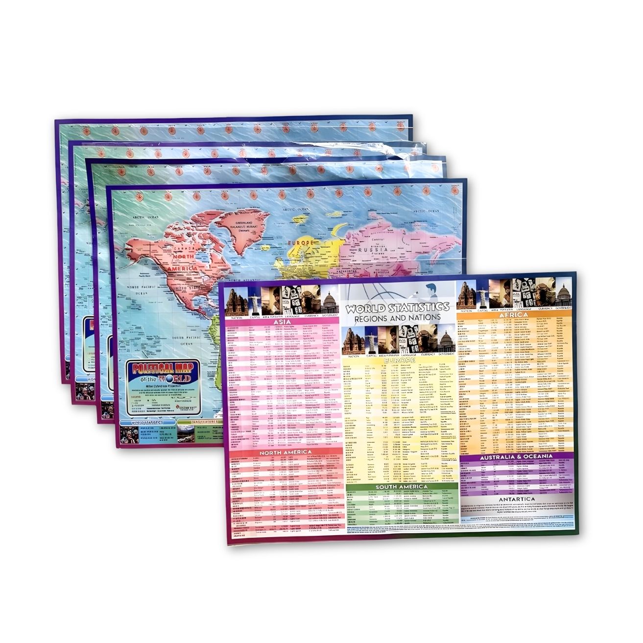
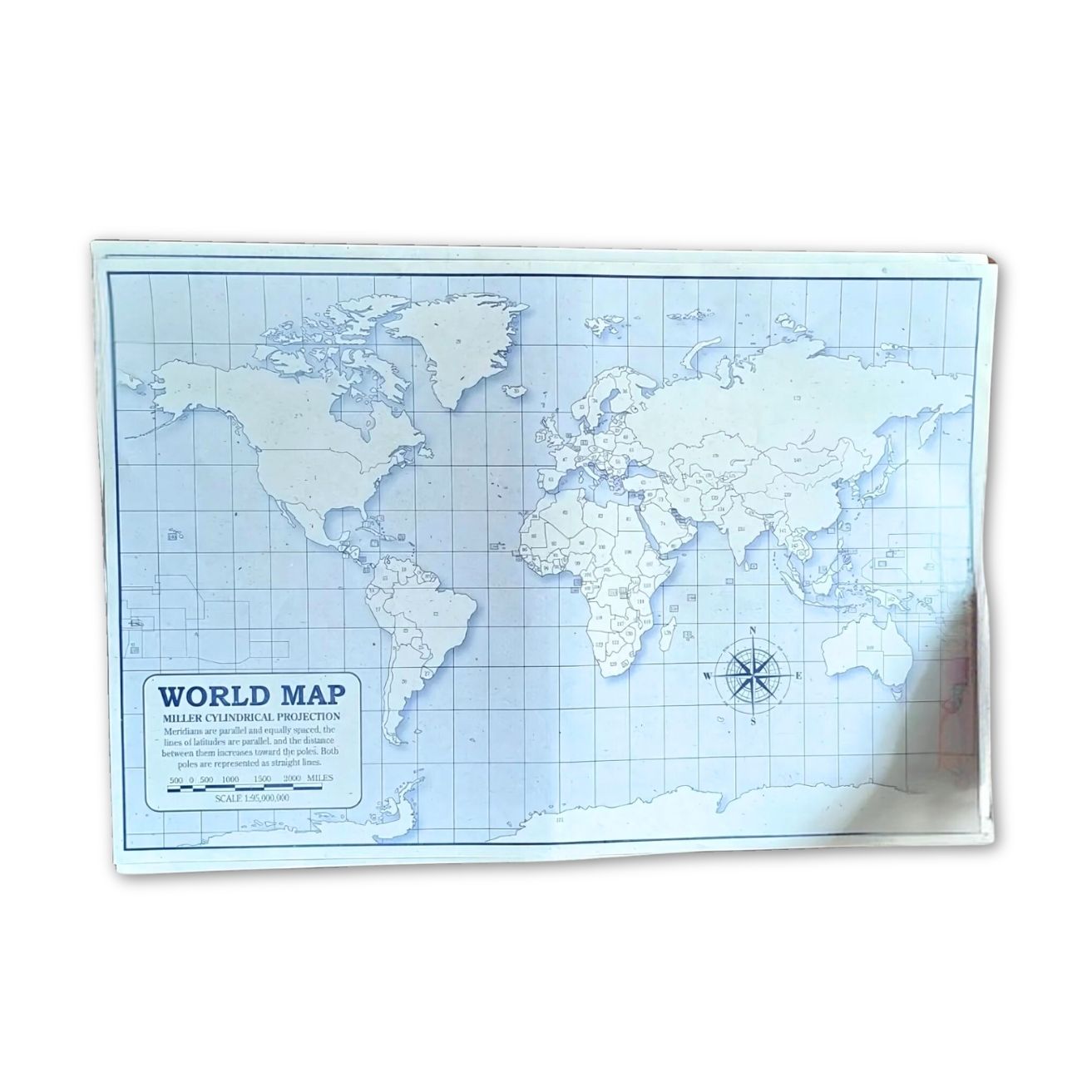
Features a high-resolution, detailed depiction of the world’s continents, countries, and major cities. The map includes up-to-date geographical information for accurate and informative use.
Uses a vivid color scheme to clearly differentiate between countries and regions, making it easy to locate and identify different areas of the world.
An excellent resource for students, teachers, and geography enthusiasts, providing a visual reference for learning about world geography and global locations.
Printed on durable, high-quality paper or canvas (depending on the version), ensuring longevity and resistance to fading or wear.
Available in various sizes to suit different spaces, from compact wall posters to large, eye-catching prints.
A valuable educational tool for teaching geography, history, and world cultures to students of all ages.
Perfect for those with a passion for travel and exploration, providing a visual representation of the destinations they dream of visiting.